The Apache Trail

A scenic day drive in the Phoenix Arizona Vicinity
The Apache Trail is a popular scenic day trip in the Phoenix Arizona area. The winding road climbs through the mountains and offers beautiful views of canyons, rock formations, and desert landscape. The trail begins in Apache Junction (milepost 194) at the intersection of State Highways 60 and 88 and ends less than 50 miles later at Roosevelt Dam (milepost 242). The drive offers spectacular views and Tortilla Flat is a fun stop before beginning the return trip.
(Note: A section of road between Fish Creek Vista and Apache Lake Marina has now reopened. That section had been closed since 2019 due to extensive roadway damage and rock debris following flooding. However, that section of road is still listed as a primitive road with caution advised. A small part of it is designated for high-clearance 4WD and UTVs only. See the Arizona Department of Transportation site for current status of the road.)
The road was originally built between 1903 and 1905 to get building materials through the Superstition Mountains to the Roosevelt Dam, then under construction.
The first time we drove the trail we went the full circle route, which took us past the Roosevelt Dam, then on to Globe and back to Apache Junction on Highway 60, a total distance of approximately 135 miles. We’ve driven the Apache Trail several times since then, but we’ve never done the full trail again, even when the full trail was open. We found the section between Tortilla Flat and Roosevelt Dam lonely and harrowing. The narrow and steep road with a 22-mile gravel section proved challenging, although there were also impressive views along the way. Like many others, subsequent drives took us only as far as Tortilla Flat, approximately 17 miles from the start of the trail. This is the part of the trail that remains open. Sometimes we ventured 5 miles beyond Tortilla Flat to a rest stop at Fish Creek Vista, where the view of desert scenery is spectacular. We then turned around, stopped in Tortilla Flat for lunch, and headed back the way we came.
The Drive
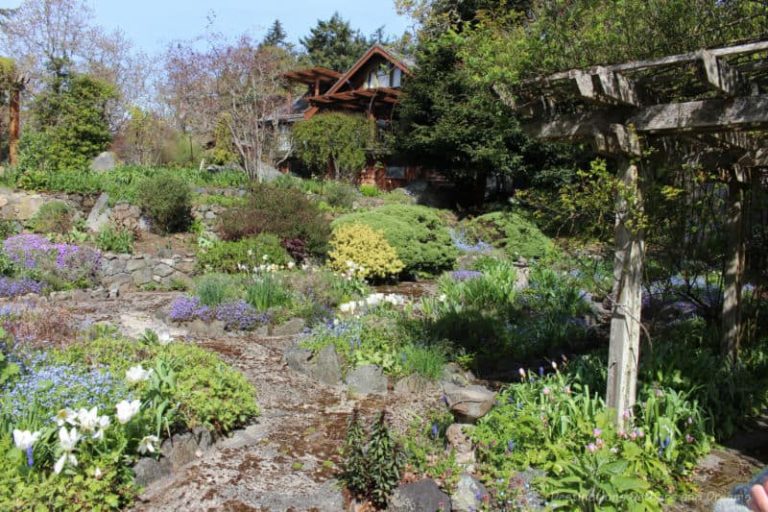
The road climbs through the Superstition Mountains and offers views of canyons, rock formations, saguaros and other desert plant life. There are a few places to pull over and enjoy the scenic vistas.


Canyon Lake

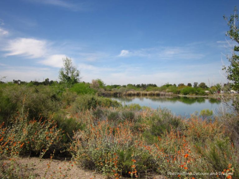
Canyon Lake is one of four lakes formed by the damming of the Salt River. There are picnic and camping spots along the lake, a marina, a restaurant and a steamboat offering cruises around the lake.

Tortilla Flat

Tortilla Flat was once a thriving stage coach stop. Present day Tortilla Flat features old west style buildings along a wooden boardwalk, a restaurant, an ice cream parlor and country store, and a schoolhouse museum. Population 6: the owners of the establishment.


The rustic decor of the restaurant. which serves Sonoran-style Mexican food, burgers, chili and sandwiches, includes walls papered with dollar bills. The outdoor BBQ patio features live bands each afternoon from December 26 to Easter. A small schoolhouse replica is a museum. There is also a collection of old, rusted tools and equipment.


Goldfield Ghost Town

Goldfield Ghost Town is at the start of the trail. We usually stop here on a way back into the city. Goldfield was a thriving mining town in the 1890s that declined when the vein of gold ore ran down. Today it has been resurrected as a tourist attraction, with old west buildings, stores, restaurants, mine tours, a narrow gauge railway, and a reptile exhibit. Staged gunfight presentations are scheduled on weekends. Given how busy the place can be with visiting families some days, the term Ghost Town seems a misnomer.

Although Apache Trail between Apache Junction and Tortilla Flat is well traveled, it is not for the faint of heart. The road is windy, has steep grades and sheer drop-offs, but the views are spectacular. Bring your camera.